Cutting your Silicon Valley commute without sacrificing comfort is possible in Cupertino. If you work at Apple or in nearby hubs like Mountain View or Sunnyvale, the right neighborhood can mean shorter drives, closer transit, and easier daily routines. In this guide, you’ll learn which Cupertino pockets fit different commute patterns, what routes matter most, and how to align housing types with your budget and lifestyle. Let’s dive in.
Why Cupertino works for commuters
Cupertino blends strong employment access with suburban calm. The city is home to Apple Park, a major commute anchor that shapes many neighborhood choices. You also get a clear road network for north–south and east–west travel, plus practical bus routes for cross‑valley trips.
According to U.S. Census QuickFacts, Cupertino has about 58,710 residents, a mean travel time to work near 23.6 minutes, and a high median household income. You can review these city snapshots on the U.S. Census QuickFacts page for Cupertino for context: U.S. Census QuickFacts.
Apple Park sits near the city’s center, creating short, simple commutes from adjacent neighborhoods. For reference and visitor details, see the Apple Park Visitor Center.
Cupertino’s commute logic follows a few main corridors. I‑280 is the go‑to for Peninsula and Palo Alto directions, while SR‑85, De Anza Boulevard, Stevens Creek Boulevard, and Wolfe Road connect you to Sunnyvale, Santa Clara, and Mountain View. The city’s transportation overview highlights these routes: City of Cupertino — Getting Around.
How to choose a commute‑first neighborhood
Start with your most common destination and travel mode. Then filter neighborhoods by the routes and options that fit your daily rhythm.
- Define your mode. Will you drive, use an employer shuttle, bike, or pair transit with park‑and‑ride? Your answer narrows the map quickly.
- Match destination to corridor. For Mountain View or North Bayshore, favor SR‑85 and Lawrence Expressway access. For Palo Alto or the upper Peninsula, aim for fast I‑280 access.
- Know the Caltrain reality. Cupertino has no Caltrain station. The closest stations for Peninsula or San Francisco commutes are in Mountain View, Sunnyvale, and San José Diridon. See the regional list here: Caltrain stations.
- Use VTA where it helps. VTA Route 23 and Rapid 523 serve the Stevens Creek corridor and De Anza College, linking Cupertino to San José and other cross‑valley nodes. Check options at VTA routes.
- Track long‑lead projects. BART to downtown San José (Phase II) is a multi‑year effort and not an immediate commute option for Cupertino residents. For project status, see VTA’s BART Silicon Valley Phase II update.
- Consider last‑mile convenience. Cupertino participates in the SV Hopper on‑demand pilot for select short trips, and the city continues to invest in bike and pedestrian connections. Explore details here: SV Hopper.
- Verify schools by address. School assignment affects pricing and demand. Always confirm boundaries with the districts. For high schools, reference Fremont Union High School District.
- Reality‑check drive times. Test your commute on a weekday at your usual departure time using a maps app before you decide.
Neighborhoods that fit common commutes
Downtown, Main Street, Memorial Park
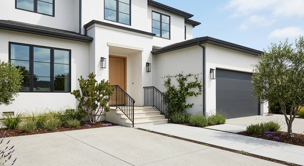
If you want the shortest Apple Park commutes plus walkable errands, start here. You’re close to Memorial Park, the library, and restaurants in the Main Street area. Housing options include townhomes, condos, and a mix of detached homes.
Commute fit:
- Short, predictable drives or bike options to Apple Park.
- Good access to Stevens Creek Boulevard and De Anza Boulevard for east–west and north–south trips.
- Practical for some employer shuttles and VTA connections.
Monta Vista
Monta Vista offers a quieter residential setting with larger lots and access to outdoor anchors like Rancho San Antonio Preserve and McClellan Ranch. Buyers often highlight neighborhood tranquility and proximity to trails. Housing is primarily single‑family.
Commute fit:
- Quick reach to I‑280 and De Anza Boulevard for Peninsula or San José directions.
- Strong choice if you want yard space and easy trail access alongside a drive‑first commute.
- Expect premium pricing in certain pockets.
Stevens Creek Corridor and De Anza
This stretch features more condos and townhomes, plus shopping and De Anza College. VTA service is strongest here, with Route 23 and Rapid 523 providing east–west links.
Commute fit:
- Easy access to I‑280 and SR‑85 for multi‑directional commutes.
- Convenient if you plan to combine driving with bus or employer shuttles.
- A practical entry point for buyers targeting lower price bands than hillside areas.
Homestead and North Cupertino
Bordering Sunnyvale, this area places you near major employment clusters and arterial options. You’ll see mid‑sized single‑family homes and townhomes across several subdivisions.
Commute fit:
- Handy for Sunnyvale, Moffett Park, and Santa Clara jobs.
- Leverages SR‑85, Lawrence Expressway, and I‑280 depending on your destination.
- Useful staging point for Caltrain via the Sunnyvale or Mountain View stations.
Rancho Rinconada and select entry pockets
These blocks include older subdivisions with varied lot sizes and ongoing updates or rebuilds. Buyers often seek value and a Cupertino address at a lower entry point than nearby areas.
Commute fit:
- Central enough for both I‑280 and SR‑85.
- A practical choice if you want Cupertino schools and are open to home updates.
- Block‑by‑block variation means you should tour at different times of day.
Vallco / The Rise
The Rise is a large mixed‑use redevelopment on the former Vallco site. It is planned to add new housing, retail, and park space across multiple phases, reshaping walkability in north/central Cupertino. For current approvals and timeline, consult the city’s project page: The Rise (former Vallco Town Center).
Commute fit:
- Central location with short connections to Apple Park and key arterials.
- Designed to cluster housing near future retail and parks, improving daily convenience.
- Watch for phased delivery if your timeline is near‑term.
Transit and last‑mile options
Most Cupertino residents still drive or use employer shuttles for door‑to‑door reliability. That said, transit can make sense depending on your route.
- VTA buses. Route 23 and Rapid 523 provide frequent east–west service along Stevens Creek, linking Cupertino to San José and beyond. See service details at VTA routes.
- Caltrain access. Cupertino has no in‑city Caltrain stop. Many commuters drive or bike to Mountain View, Sunnyvale, or San José Diridon. Review nearby stations here: Caltrain stations.
- Future rail. The BART Silicon Valley Phase II extension to downtown San José and Diridon is a multi‑year project and not a near‑term solution for Cupertino commutes. For updates, check VTA’s project page.
- On‑demand and bikes. Cupertino’s SV Hopper pilot and local bikeways help with short trips, first‑mile or last‑mile needs, and campus connections. Learn more at SV Hopper.
Parks, trails, and daily anchors
Parks and trails can improve your daily routine as much as a short drive can. West Cupertino buyers often cite quick access to Rancho San Antonio Preserve for morning hikes or weekend runs. Explore the preserve here: Rancho San Antonio County Park and Preserve.
Inside the city, McClellan Ranch Preserve offers nature paths and local programming. Memorial Park adds open space near the civic core. The Stevens Creek corridor provides frequent dining and shopping stops, especially around Main Street and De Anza College. As The Rise adds housing and new public spaces over time, expect more walkable options in the north/central area.
Market snapshot and what it means
Cupertino is a high‑demand city with a wide price spread by pocket, school assignment, and home type. As a point‑in‑time reference, the citywide median sale price was about 3.67 million dollars in January 2026 (Redfin median, Jan 2026). Markets shift month to month, and prices vary by block, condition, and school boundary, so you should rely on current comparables for any offer strategy.
What this means for commuters:
- If you want the shortest Apple Park commute, central pockets and Main Street areas trade at a premium and move fast.
- If you want value with flexible routes, the Stevens Creek corridor and select east/central pockets often offer more condos and townhomes.
- If you want trails plus yard space, Monta Vista and west‑side streets are strong but come with higher single‑family pricing.
Smart next steps
- Map your top two commute destinations and identify the primary corridor you’ll use most days.
- Tour at your actual departure time to see realistic travel patterns.
- Verify school assignment by exact address with the districts, especially near boundary lines. Check the high school list here: Fremont Union High School District.
- Track near‑term openings and long‑lead projects like The Rise using the city’s planning page: The Rise project.
If you want a tailored shortlist and a route‑first search plan, we’re here to help. Connect with Jide Group Real Estate to align neighborhoods, commute patterns, and budget, then move confidently when the right home hits the market.
FAQs
Are there Caltrain stations in Cupertino for Peninsula commutes?
- No. The closest Caltrain stations are in Mountain View, Sunnyvale, and San José Diridon. Many commuters drive, bike, or use shuttles to reach these stations. See the regional list at Caltrain stations.
Which Cupertino neighborhoods are closest to Apple Park for short drives?
- Central pockets near Main Street, Memorial Park, and areas immediately surrounding Apple Park typically offer the shortest, most predictable commutes to the campus.
How do VTA bus routes help Cupertino residents with cross‑valley trips?
- VTA Route 23 and Rapid 523 run along Stevens Creek, providing frequent east–west service into San José and connections to other lines. Explore options at VTA routes.
Will BART to downtown San José change my Cupertino commute soon?
- Not in the near term. BART Silicon Valley Phase II is a multi‑year project. For schedule and design updates, check VTA’s project update.
What parks and trails matter most for Cupertino lifestyle and commutes?
- Rancho San Antonio Preserve and McClellan Ranch offer close‑in trail access, while Memorial Park anchors the civic core. These spaces add lifestyle value and can reduce local car trips. See Rancho San Antonio.